Bighorn Basin Loop
This route begins with Wyoming Highway 120 south through the town of Meeteetse and to Thermopolis. Turning north onto U.S. 20 to the town of Worland – the agricultural hub of the region – and then taking U.S. 16 east to the town of Ten Sleep, visitors will be treated to a spectacular view of the Bighorn Mountains. Heading north on Norwood Road, drivers will skirt the base of the Bighorns before joining Wyoming 31 and connecting to U.S. 16-20 from the town of Manderson to the town of Basin. Drivers will pass through fertile ranch and farmlands of the Greybull River Valley on Wyoming 30 west before picking up Wyoming Highway 120 again and returning to Cody.
Detours – In Thermopolis, home of the world’s largest free-flowing hot springs, travelers can stop at Hot Springs State Park to soak in mineral hot pools or visit the Wyoming Dinosaur Center and Dig Sites, also in Thermopolis.
Bighorn Mountain Loop
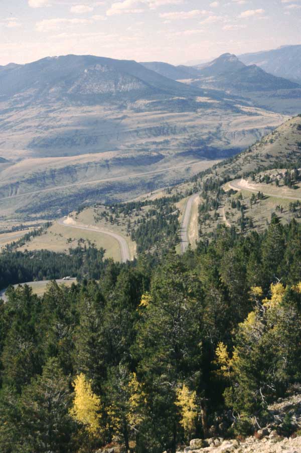
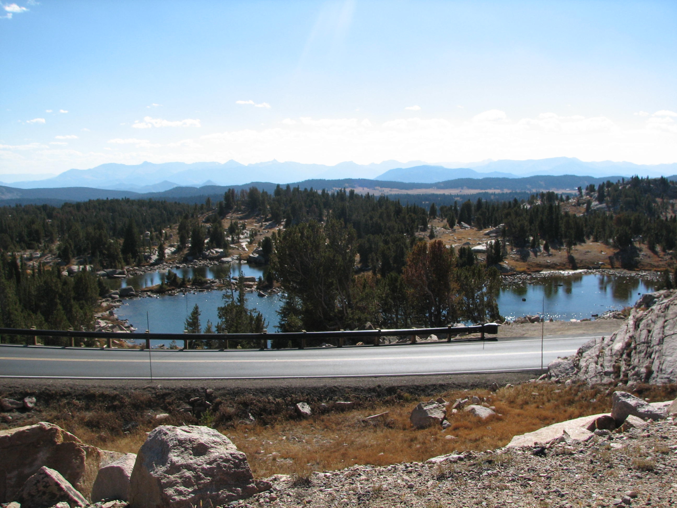
This route begins on U.S. 14A and heads northeast through the towns of Powell and Lovell, past the Bighorn Canyon National Recreation Area Visitor Center and to Burgess Junction. From there, drivers head south onto U.S. 14 along the west slope of the Bighorn Mountains and through wildlife-rich meadowlands before arriving at the town of Greybull, which derives its name from a legendary albino bison bull that was sacred to American Indians. U.S. Highway 14-16-20 continues west to Cody and offers terrific views of the Absaroka Mountains to the west and Heart Mountain to the north.
Detours – Explore the Heart Mountain WWII Interpretive Center between Cody and Powell for a moving lesson in U.S. history. The Pryor Mountain Wild Horse Range, home to 120 free-roaming wild horses, is a short detour from the Wild Horse Range Visitor Center. On a three-mile access road off 14A between Burgess Junction and Bighorn Lake, visitors will find Medicine Wheel, a mysterious 74-foot stone circle with 28 spokes that some think had religious or astronomical meaning to an ancient Indian tribe.
South Fork Drive
A good option for Cody visitors with limited time, the half-day drive begins on Wyoming 291 a short drive west of Cody’s Buffalo Bill Center of the West and skirts Cedar Mountain before heading toward the Buffalo Bill Reservoir. The route continues along the South Fork of the Shoshone River and past Buffalo Bill Cody’s original TE Ranch, built in 1895. The road dead-ends near Deer Creek Campground.
Detours – Deer Creek Campground is a desirable place for a picnic lunch, and travelers will likely see abundant pronghorn, elk and deer along the way.
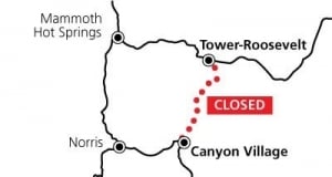
###
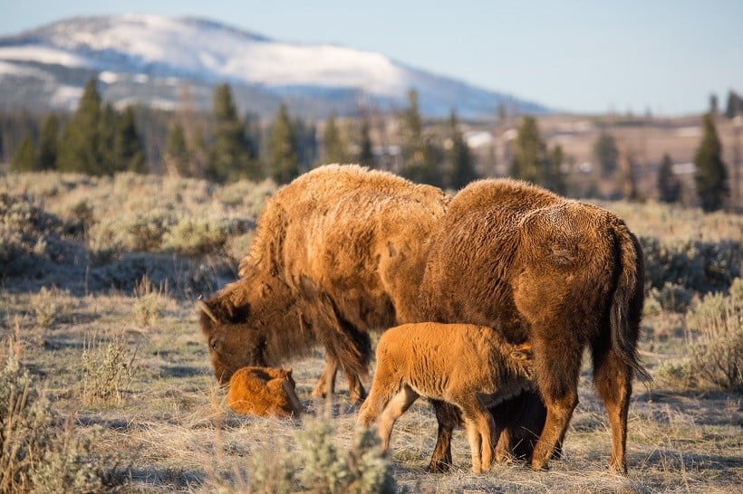
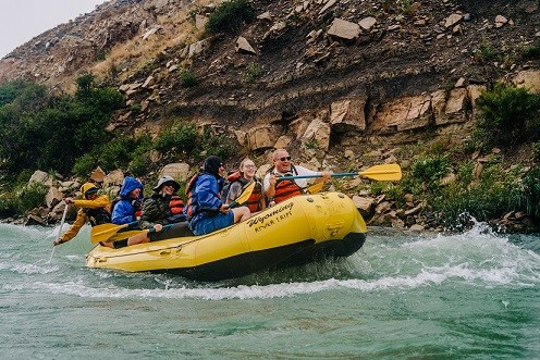
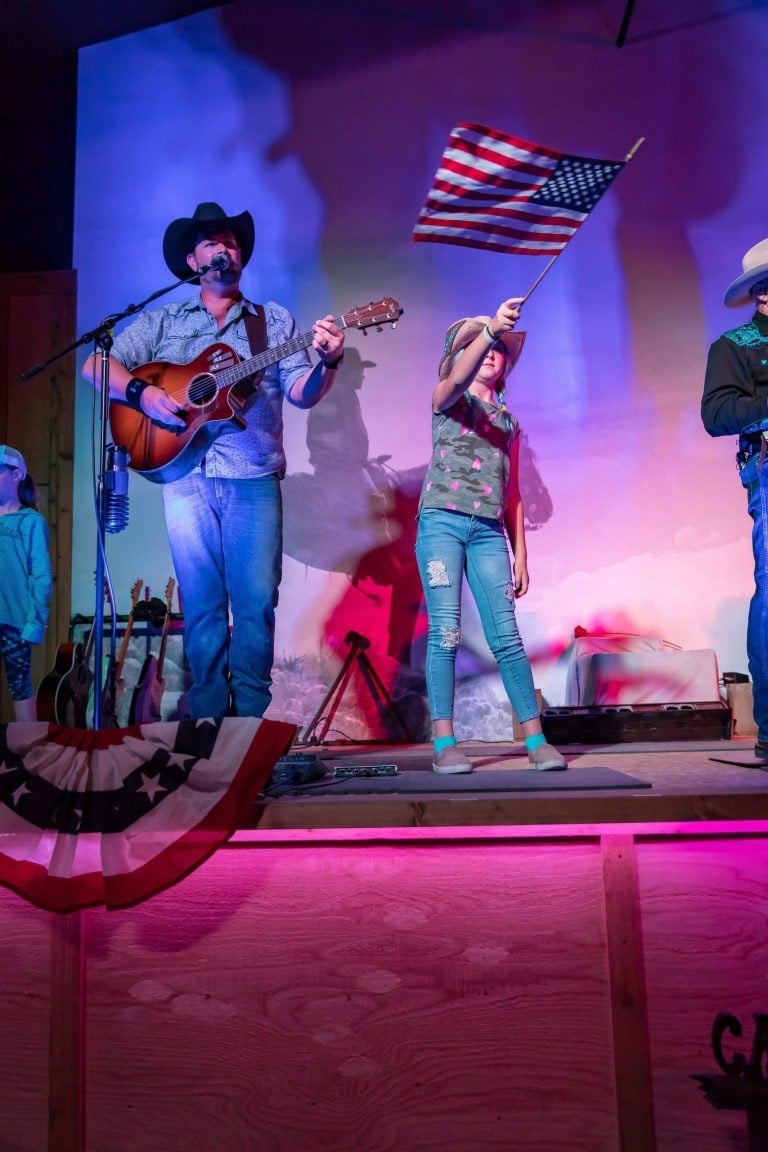
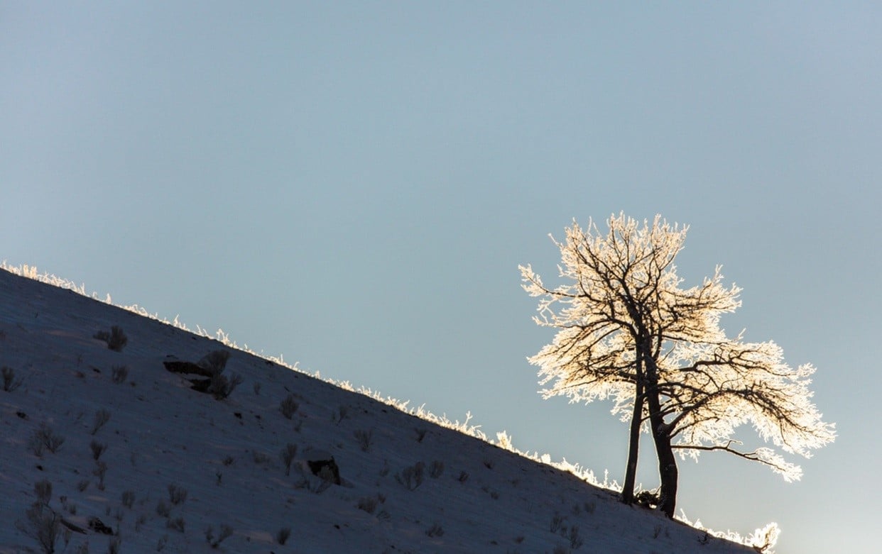
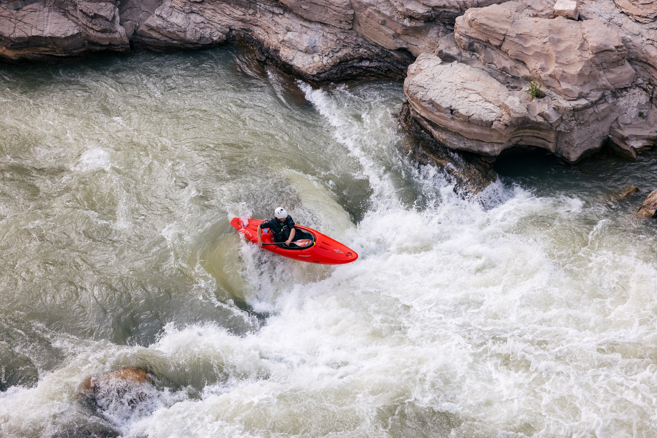
Home of the Great American Adventure, Cody Yellowstone is comprised of the northwestern Wyoming towns of Cody, Powell and Meeteetse as well as the valley east of Yellowstone National Park. The region is known for rodeos, authentic guest and dude ranches, world-class museums and recreational adventures that reflect the adventurous spirit of the visionaries and explorers who brought the remote region to the world’s attention.
Related hashtags:
#YellowstoneCountry
#CodyWyoming
#CenteroftheWest
#BuffaloBill
#Yellowstone
#ThatsWY
Media contact:
Mesereau Travel Public Relations
720-284-1512
[email protected]
[email protected]